

Devon urged to brace for thunderstorms as Met Office warns of further disruption
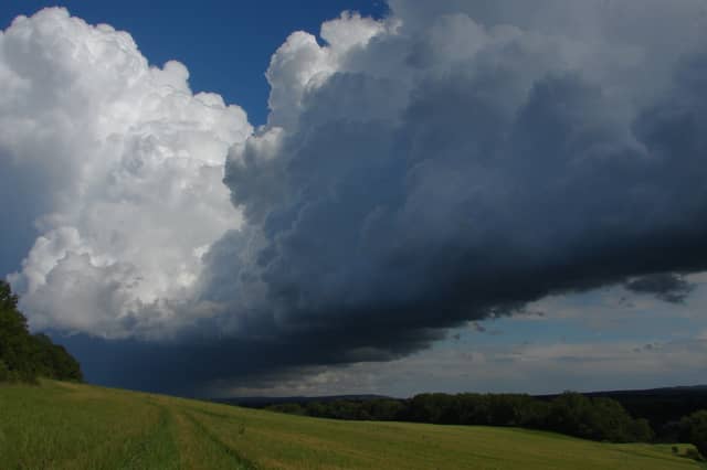

As storms track across the region overnight, The Met Office have warned of frequent lightning, hail and heavy rain as Friday morning approaches
Yellow weather warnings for thunderstorms have been issued for Devon and surrounding parts of the South West, with forecasters warning of potential disruption overnight and into Friday morning.
The Met Office has issued two separate warnings to cover the shifting storm system, which follows a period of extreme heat across the region.
The first warning runs from 18:00 to 23:59 on Thursday, June 25. This initial alert blankets the entire South West peninsula, affecting all of Devon, Cornwall, Somerset, Dorset, Plymouth, and Torbay.
Forecasters say that while many areas may avoid the worst of the storms, some places could see heavy rain, lightning, and strong gusty winds as the evening progresses.
According to the Met Office, there is a small chance of wind gusts reaching 50 to 60mph in exposed areas, along with frequent lightning and hail.
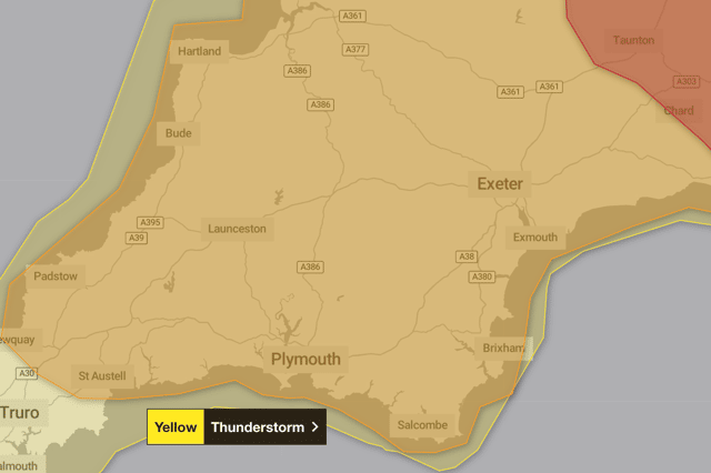
“Frequent lightning, hail and heavy rain are additional hazards. Impacts are slightly more likely towards the south coast of Devon and Cornwall,” the Met Office warning read.
A second yellow warning takes over from 00:00 to 10:00 on Friday, June 26.
As the storm system tracks northeast across England and Wales, the risk zone contracts in the far west.
While western Devon and Cornwall are expected to clear up during the early hours, the warning remains in place for East Devon, Dartmoor, Plymouth, and Torbay.
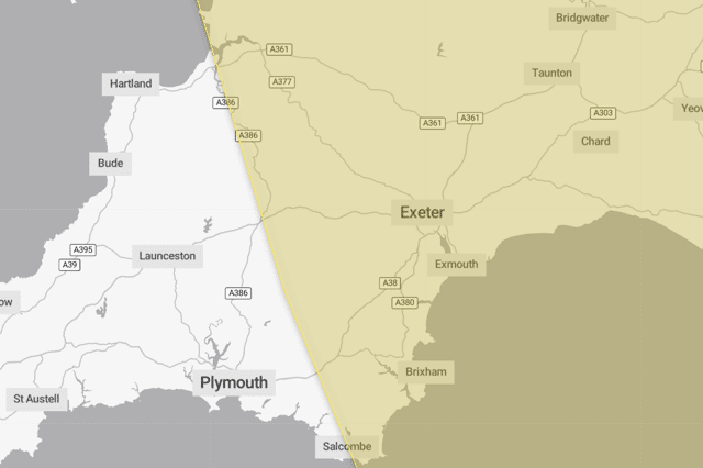
During this second window, torrential downpours could see rainfall totals reach 15-20mm in a single hour in some locations, raising the risk of localised surface water flooding.
A separate alert shared by Devon Alert echoed the Met Office warnings, reminding residents across the South West to remain vigilant.
Both warnings are currently classed as “be aware,” meaning there is a low overall likelihood of widespread chaos, but localised impacts are possible.
The Met Office highlights a slight risk of:
- Travel disruption: Potential delays or cancellations to bus and rail journeys.
- Dangerous driving conditions: Road users are advised to expect spray, standing water, sudden flash flooding, and a small chance of isolated road closures.
- Power outages: Short-term loss of power and other localised services.
- Property damage: A small chance of damage to some buildings from lightning strikes or sudden strong winds.
The Met Office advises people in affected areas to stay aware of local conditions and be prepared for rapidly changing weather, particularly during the overnight hours when thunderstorms can develop quickly.